Our Trails
Click on any colored trail to learn more
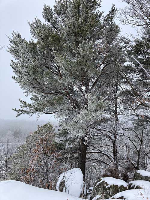
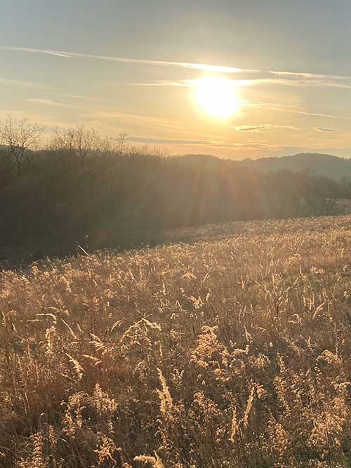
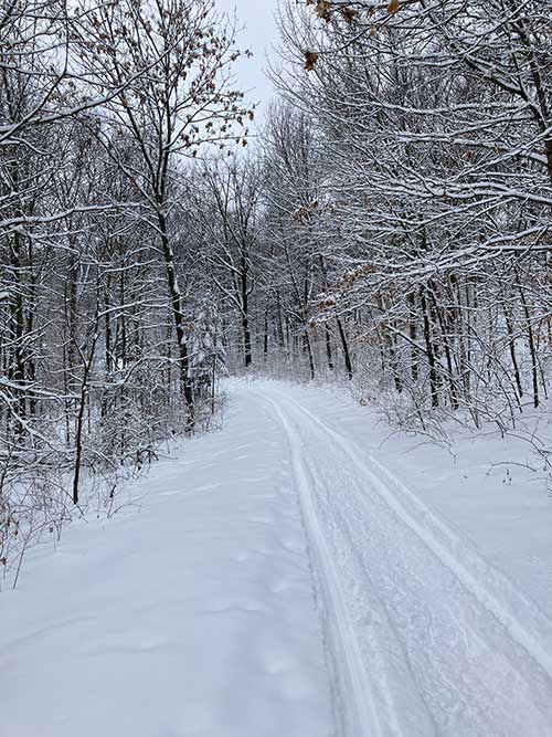
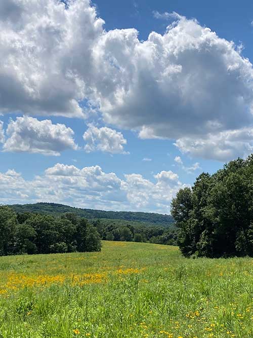
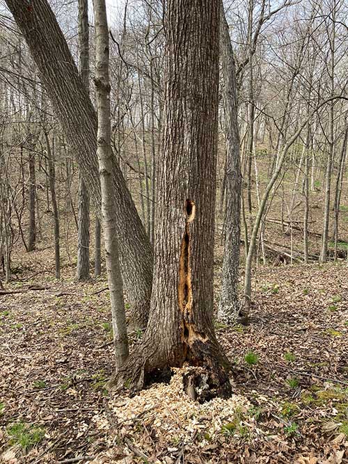
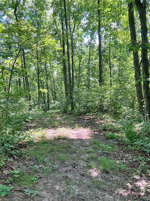
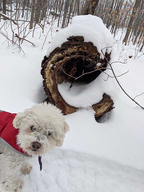
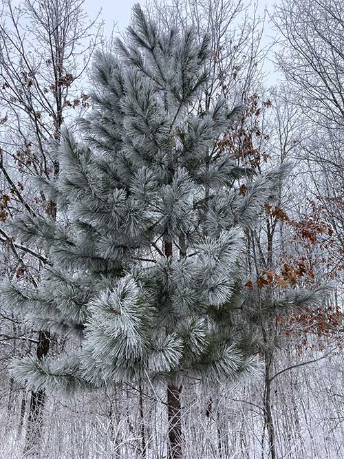
Want to experience more of the beautiful Driftless Area than what you can see from the wrap-around deck and front gardens? Explore the Inn’s 70+ acre slice of rolling hills, restored prairie, hardwood forest, and scenic outlook which defines the beauty of the Driftless Area from our extensive trail system. Trails are groomed year-round, and the surroundings are gorgeous in every season.
A portion of the hiking trail system available to explore at The Silver Star Bed and Breakfast is owned by Eagle Hill LLC. The forest on this property is included In a Closed Managed Forest Plan and the Prairie in a Conservation Reserve Program. All entering this property agree that this property is covered by Wisconsin Statute sec 895.52 and that they are hiking at their own risk. Please stay on the trails at all times.
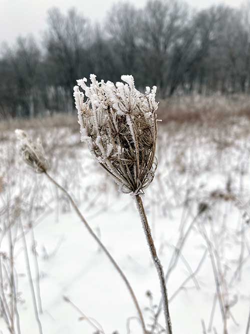
Silver Star Property LLC maintains the trails on its 25 acres for the enjoyment of its guests. We advise all guests to stay on the trail and walk carefully as the trail’s terrain varies from mowed paths covered in grass to narrow trails through the woods with sandy soil, loose rocks and other tripping hazards. Please talk to Elise or Kevin before venturing out on a hike to get an update on the trail conditions.
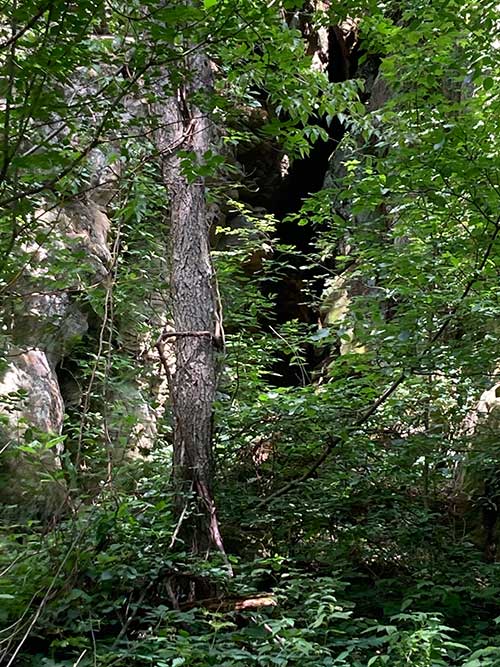
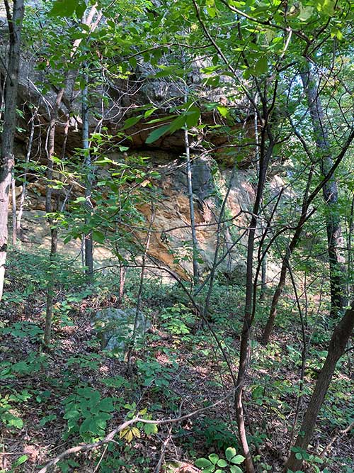
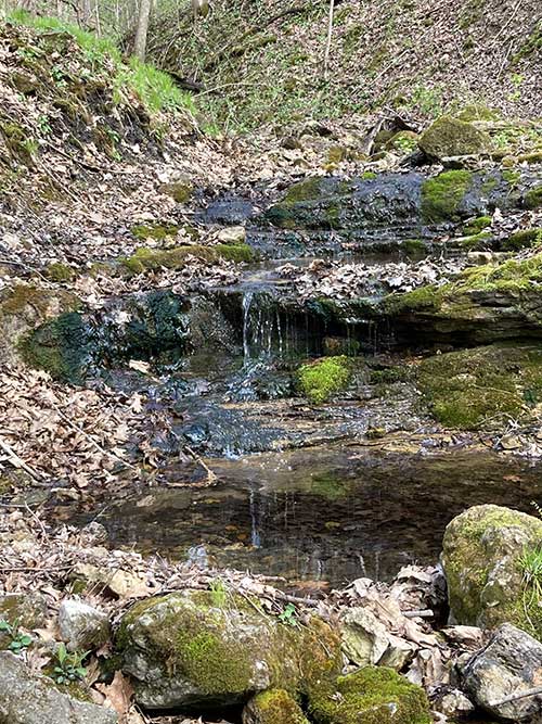
Cave Loop Trail
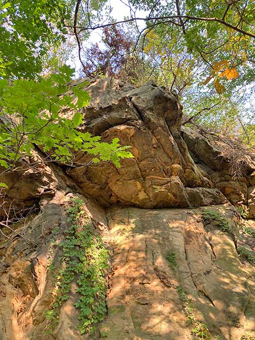
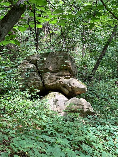
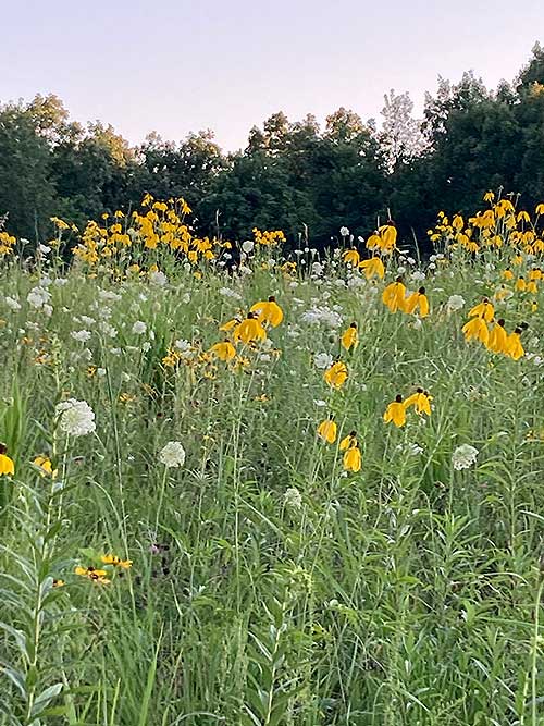
An easy stroll, less than a mile, starting with a manicured trail through the front prairie where you can enjoy native flowers and grasses followed by a spectacular view of the 100 foot sandstone and limestone wall hidden behind the woods located at the front of the property.
- Distance: 0.7 miles
- Duration: 15 minutes and 58 seconds
- Average Speed: 2.6 mph
- Minimum Elevation: 1012 feet
- Maximum Elevation: 1108 feet
- Total climb: 123 feet
- Total descent: 131 feet
Bluff Overlook Trail
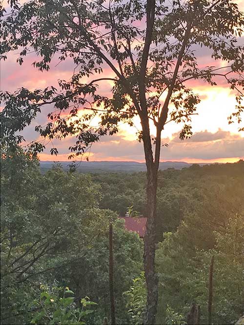
Bring your hiking boots for this quarter mile hike through the woods. This switchback trail, although short, includes 100 feet of elevation gain. The trail opens up to an observation area with a swing and picnic table to enjoy the views from above the trees and spans the countryside. An excellent location to enjoy the breathtaking sunsets all year around.
- Distance: 0.2 miles
- Duration: 4 minutes and 28 seconds
- Average Speed: 2.6 mph
- Minimum Elevation: 1076 feet
- Maximum Elevation: 1157 feet
- Total climb: 81 feet
- Total descent: 0 feet
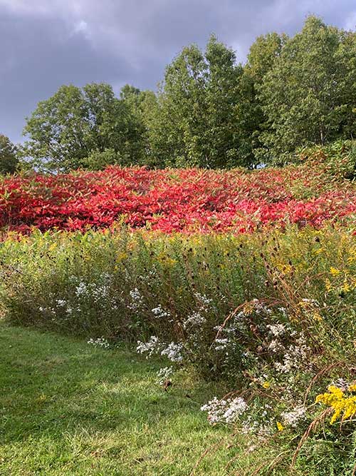
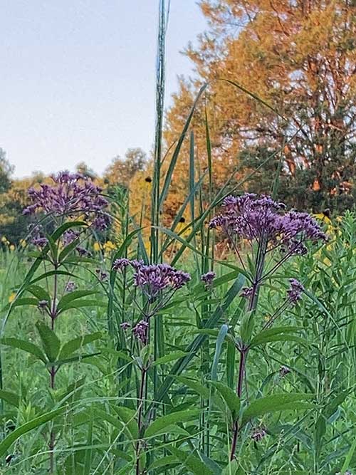
Butterfly Preserve Trail
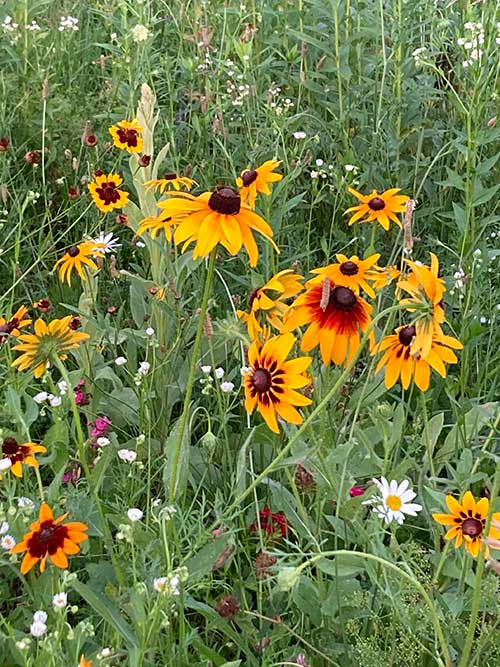
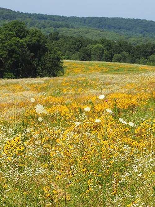
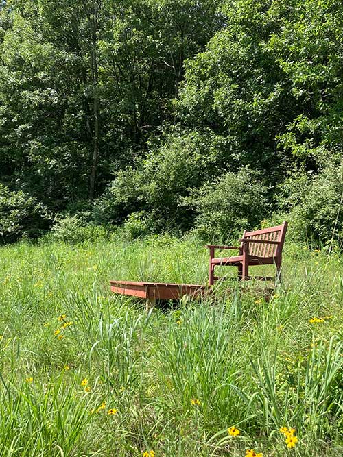
A mile + trail borders the recently restored 11 acre prairie we like to refer to as the Monarch Preserve. It was planted in 2016 with native grasses and flowers that bloom throughout the butterfly mating season, and is designed to attract the endangered Monarch Butterfly and provide the necessary vegetation to ensure new generations will flourish. Enjoy the observation deck from one of the higher points on the trail that overlooks almost the entire prairie. The observation deck also provides beautiful sunset views in late fall through early spring.
- Distance: 1.1 miles
- Duration: 24 minutes and 29 seconds
- Average Speed: 2.7 mph
- Minimum Elevation: 1041 feet
- Maximum Elevation: 1132 feet
- Total climb: 177 feet
- Total descent: 171 feet
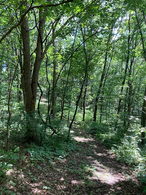
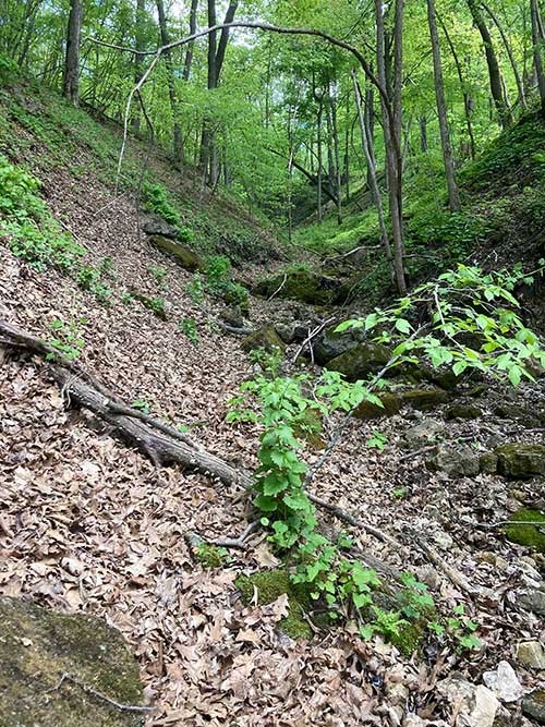
Woods Stroll
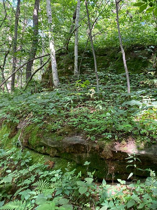
Up for the challenge of 170 feet of elevation change in a quarter mile? Make sure you have your hiking boots, as the woods stroll starts out easy on an old farm road where you can enjoy the views of various rock outcropping and the canopy of trees. After you make your way through a wash, the trail becomes unforgiving as it leads up a challenging hill which will leave you breathless, literally. Eventually the trail leads you out of the woods where you can enjoy a glimpse of the Butterfly preserve before you return to the Inn.
- Distance: 1.1 miles
- Duration: 24 minutes and 17 seconds
- Average Speed: 2.7 mph
- Minimum Elevation: 960 feet
- Maximum Elevation: 1132 feet
- Total climb: 214 feet
- Total descent: 204 feet
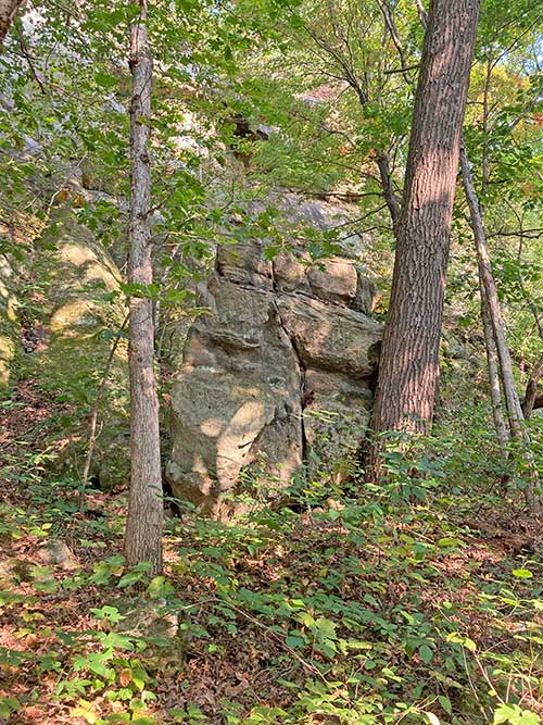
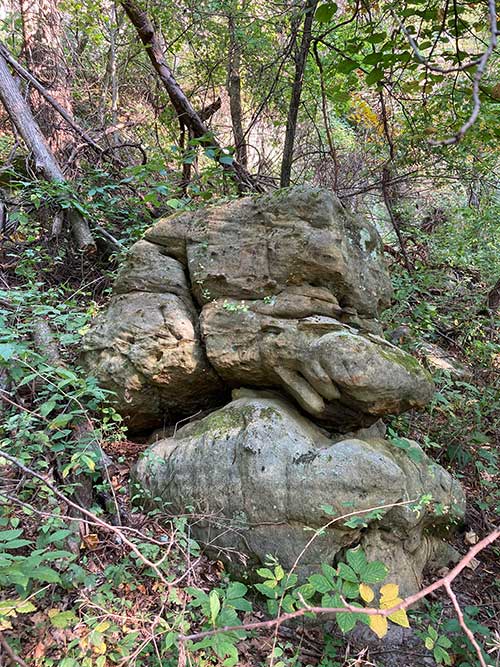
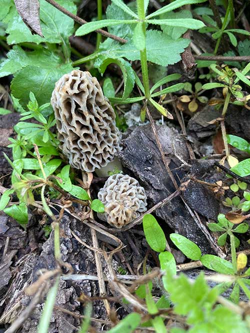
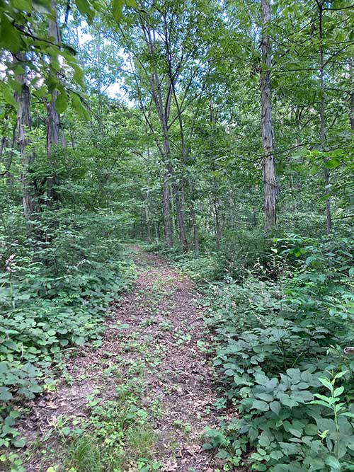
Sandstone Face trail
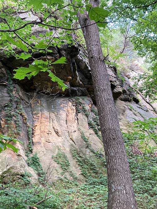
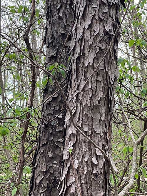
Want to spend more time in the woods? Enjoy this half mile trail through the woods created by our extensive deer population. The trail is located on the eastern side of the property and starts with beautiful views of the sandstone face of the bluff. Rock outcroppings, native mushrooms and ferns will entertain you as you make your way over this sandy trail.
- Distance: 0.4 miles
- Duration: 11 minutes and 12 seconds
- Average Speed: 2.4 mph
- Minimum Elevation: 1076 feet
- Maximum Elevation: 1164 feet
- Total climb: 87 feet
- Total descent: 65 feet